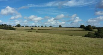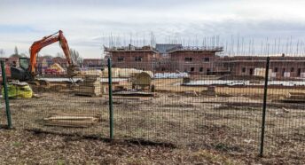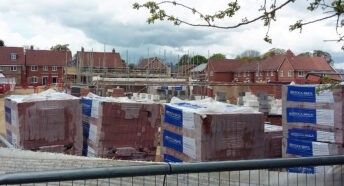


We launch our new digital map of Hertfordshire countryside under threat
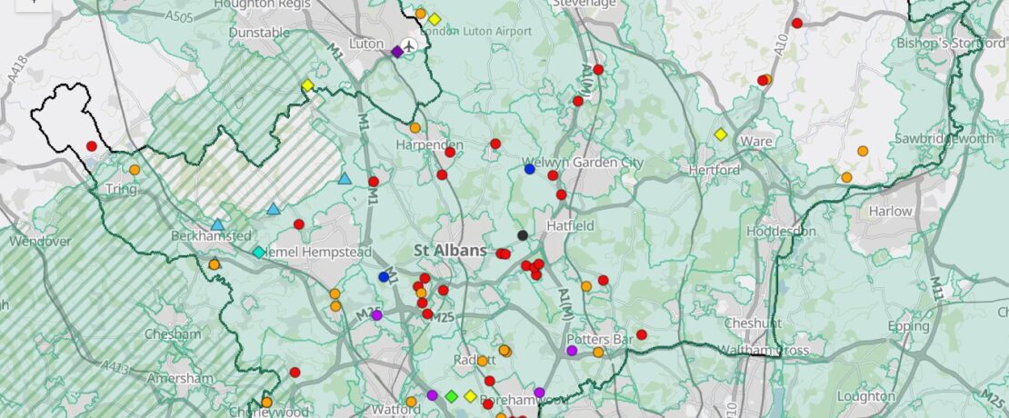
We’re delighted to launch CPRE Hertfordshire’s new digital map showing development proposals that threaten the Hertfordshire countryside and Green Belt.
Our digital map shows recent planning applications where CPRE Hertfordshire has raised concerns. Local Plan proposed sites are not yet shown but will be added later.
The map includes planning applications for the following types of development in the countryside: residential (20+ new dwellings), commercial / employment uses, large scale ground-mounted solar installations, battery energy storage systems (BESS), suitable alternative natural greenspaces (SANG), airport expansion, mineral extraction, and sport. And by adjusting the layers, you can clearly see if a particular area is within the Green Belt, and/or the Chilterns National Landscape (formerly known as Area of Outstanding Natural Beauty or AONB).
To check out our map and kick the tyres, go to our digital map now. It sits on a dedicated webpage within the Resources section of our website, available for whenever you need to refer to it.