

Tring Park and Hastoe
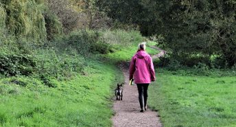
This 4.1 mile circular walk starts and finishes in Tring, in the west of the county. All of the route is entirely within the Chilterns National Landscape.
The walk climbs through the designed landscape of grassland and woodland in Tring Park. It then follows the route of The Ridgeway to the highest point in Hertfordshire before descending through Tring Woodlands, a Special Area of Conservation.
Or refer to our walks index to find a walk near you.

The summer house in Tring Park CPRE Hertfordshire