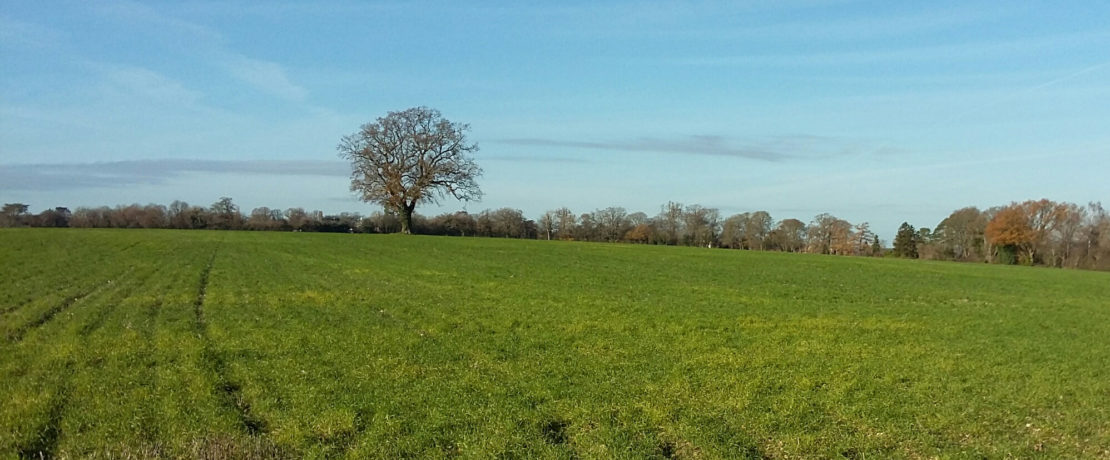


Hertfordshire Green Belt Statistics – by District
The Department for Levelling Up, Housing and Communities (DLUHC) has released its latest statistical data on the Green Belt across England, as of 31 March 2021. This includes detailed data on each local authority (or district) in Hertfordshire. The statistics reveal that five of Herts’ ten local authorities’ land areas are effectively all designated protected land outside of their existing urban areas. Does this make them a special case for land use planning?
For each local authority in Hertfordshire, the newly released data from DLUHC shows
- the total area
- the hectares and percentage of total area that is designated as Green Belt
- the hectares and percentage of total area that is designated as Area of Outstanding Natural Beauty (AONB) or Site of Special Scientific Interest (SSSI), and
- the hectares and percentage of total area that is designated as any of Green Belt, AONB or SSSI.
This data is important because Green Belt, AONBs and SSSIs are protected under the National Planning Policy Framework and related guidance.
During the 12 month period covered by the report, eleven local authorities across England released Green Belt land for development through the adoption of new Local Plans. In Hertfordshire, Broxbourne Borough released 490 hectares of its Green Belt land for development through the adoption of its Local Plan in June 2020. This was more than any other local authority, and equates to 15% of its total Green Belt area, and 28% of all the Green Belt lost across the country.
In prior year reports, the Department records earlier loss of Green Belt. This includes 1,090 hectares of Green Belt land released for development through the adoption of the East Herts District Local Plan in October 2018, and 80 hectares of Green Belt land released for development through the adoption of the Stevenage Borough Local Plan in May 2019.
Current data shows the Hertfordshire districts with the most area of Green Belt, AONB and SSSI are
- East Herts (16,560 hectares)
- Dacorum (16,360 hectares)
- North Herts (15,780 hectares), and
- St Albans District (13,150 hectares).
The Hertfordshire districts with the highest percentage of their land area as either Green Belt, AONB or SSSI are
- St Albans District (81.6%)
- Welwyn Hatfield (79.1%)
- Hertsmere (79%),
- Dacorum (77%), and
- Three Rivers (75.7%).
This data shows that half of Hertfordshire’s local authorities are effectively all Green Belt, AONB and SSSI outside of their existing urban areas.
The full extent of Green Belt land across Hertfordshire’s ten districts is as follows. All data as of 31 March 2021.
Table 1 – Green Belt Only – Hectares / Percentage
| Local Authority | Total Area | Area of land designated as Green Belt | Proportion of total land area designated as Green Belt
|
| Broxbourne | 5,140 | 2,830 | 55.1 |
| Dacorum | 21,250 | 10,630 | 50.1 |
| East Herts | 47,570 | 16,440 | 34.6 |
| Hertsmere | 10,110 | 7,990 | 79.0 |
| North Herts | 37,540 | 14,250 | 38.0 |
| St Albans | 16,120 | 13,150 | 81.6 |
| Stevenage | 2,600 | 180 | 6.9 |
| Three Rivers | 8,880 | 6,720 | 75.7 |
| Watford | 2,140 | 400 | 18.7 |
| Welwyn Hatfield | 12,950 | 10,250 | 79.2 |
Table 2 – AONB, SSSI or Green Belt – Hectares / Percentage
| Local Authority | Area of land designated as AONB or SSSI | Proportion of total land area designated as AONB or SSSI | Area of land designated as AONB, SSSI or Green Belt | Proportion of total land area designated as AONB, SSSI or Green Belt
|
| Broxbourne | 230 | 4.5 | 2,830 | 55.1 |
| Dacorum | 9,110 | 42.9 | 16,360 | 77.0 |
| East Herts | 520 | 1.1 | 16,560 | 34.8 |
| Hertsmere | 40 | 0.4 | 7,990 | 79.0 |
| North Herts | 2,620 | 7.0 | 15,780 | 42.0 |
| St Albans | 70 | 0.5 | 13,150 | 81.6 |
| Stevenage | 0 | 0 | 180 | 6.9 |
| Three Rivers | 650 | 7.3 | 6,720 | 75.7 |
| Watford | 0 | 0 | 400 | 18.7 |
| Welwyn Hatfield | 330 | 2.5 | 10,250 | 79.1 |
New Local Plans are currently being developed in seven of Hertfordshire’s local authorities. These are Dacorum, Hertsmere, North Herts, St Albans, Three Rivers, Watford and Welwyn-Hatfield. As draft Plans are released for public consultation, these statistics form a useful basis for analysis of potential loss of countryside and harm to the environment.
At CPRE Hertfordshire we campaign to protect the countryside for people and nature. If you are concerned about proposed development or other potential threats to the countryside near you, please join us and help ensure the countryside is there for today and for future generations.
Notes
- Broxbourne. With the adoption of its Local Plan in June 2020, Broxbourne Borough Council released 490 hectares of its Green Belt land for development, or 15% of its pre-existing total Green Belt area of 3,330 hectares.
- East Herts. With the adoption of its Local Plan in October 2018, East Herts District Council released 1,090 hectares of its Green Belt land for development, or 6% of its pre-existing total Green Belt area of 17,530 hectares.
- Stevenage. With the adoption of its Local Plan in May 2019, Stevenage Borough Council released 80 hectares of its Green Belt land for development, or 31% of its pre-existing total Green Belt area of 260 hectares.