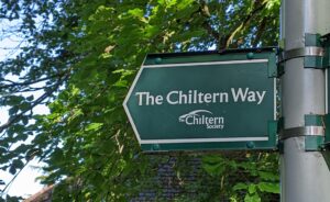


The Chiltern Way
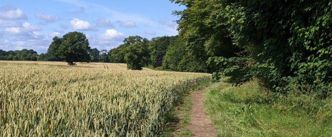
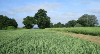
The Chiltern Way is a 177 mile circular route, with various extensions, that highlights the best features of the Chilterns National Landscape (formerly the Chilterns Area of Outstanding Natural Beauty). The route takes in a variety of ancient woodlands, chalk grasslands and historic villages.
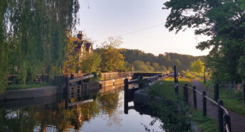
The route takes in parts of Hertfordshire, Bedfordshire, Berkshire, Buckinghamshire and Oxfordshire. Within Hertfordshire, the Chiltern Way passes through countryside at Great Offley, Preston and Whitwell in the northeast, and through Harpenden, Redbourn, Flamstead, Great Gaddesden, Bovingdon, Flaunden, Sarratt and Chorleywood as it extends to the southwest.
The walk can be started anywhere along the route. The Way also links with other routes including The Ridgeway National Trail, The Icknield Way Path, The Lea Valley Walk and The Hertfordshire Way.
The Chiltern Way was originally conceived by the Chiltern Society as a project for the Millennium. Volunteers for the Chiltern Society continue to maintain the route, and have published a guidebook most recently updated in 2023. You can find more information, buy the official guidebook, download GPX files of the route, and see a map of the Way on the Chiltern Society website.