


Map of Hertfordshire Rights of Way in the Green Belt
Welcome to CPRE Hertfordshire’s digital map of the Public Rights of Way throughout Hertfordshire.
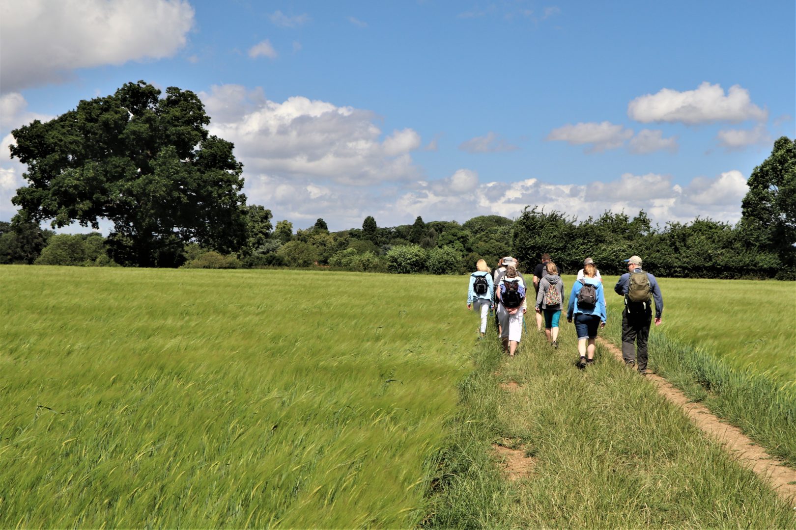
We have layered the Public Rights of Way onto the map of the Green Belt so you can easily see the extent of these footpaths, bridleways and other rights of way into the countryside that surrounds the communities where we live.
You can also turn on / off a layer in the map showing the Chilterns National Landscape (CNL), to easily see the rights of way in the CNL too.
Click on this button to view the map
Why is this important?
The Green Belt and wider countryside in Hertfordshire are under immense pressure from developers. Many of these are trying to take advantage of the Government’s ‘grey belt’ policy, introduced in 2024 to make it easier to build within the designated protected Green Belt.
Since the introduction of ‘grey belt’ policy, we have seen planning applications for well over 1,200 hectares (circa 3,000 acres) of greenfield land within the Green Belt. This is a massive amount of open countryside under threat of development. And more new applications are coming in every week.
But these areas of land are crucially important for local people and wildlife. In particular, most of the sites proposed for development contain Public Rights of way and are highly valued by local communities as their means of accessing the countryside near where they live. These are the everyday activities that give us all a good quality of life, like getting outside with the dog or the kids for a walk in nature, going for a jog, or simply appreciating the birds, trees, wildflowers and the landscape.
If development occurs, these rights of way will no longer run along hedgerows and through open fields, pastures, woodlands and the countryside. Instead they will run through the bricks and concrete of new-build housing estates, the glass and steel of solar farms, and the massive warehouse-like buildings of data centre facilities. This would be tragic.
We campaign to protect the Green Belt and the wider countryside for everyone – local communities, visitors, nature and wildlife. And we don’t want our Public Rights of Way enclosed by construction and development.
Please join our campaign and become a CPRE member – it’s quick and easy to join online.
Note – CPRE Hertfordshire’s Rights of Way Map is not the statutory Definitive Map. The rights of way information on our map is based on information from the Definitive Map of Public Rights of Way and is correct as of April 2026. Occasionally new Rights of Way may be designated, or existing Rights of Way may be temporarily diverted or closed. If in doubt the Definitive Map should be consulted: contact your local authority or Hertfordshire County Council for further information.
